


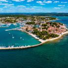
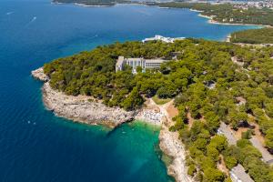
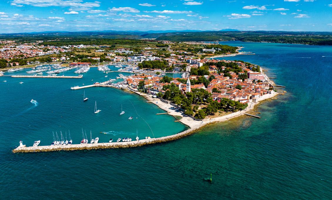
Diga
A beautiful snorkelling location in Novigrad is located at the beginning of the municipal breakwater, better known by its local name Diga, and extends to the shoal mark, a green pole on the opposite side. Throughout history, the breakwater provided a lively view of the very busy port of Novigrad. In addition to batans, batels and large trabaculas, the nearby Customs Pier was also home to a steamship connecting Trieste and Pula twice a day during the first half of the 20th century.
According to an unwritten rule, the breakwater with its lighthouse has a special meaning for all generations of Novigrad residents. Although it is prohibited to jump from the lighthouse, the local population closely monitors whether anyone has done it – as it represents the proof that they have finally grown up, and that everyone will look at them differently from that summer on. However, this is only true for the residents of Novigrad!
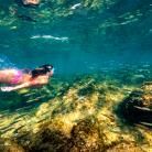
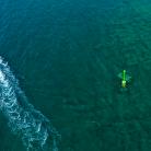
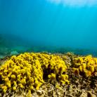
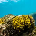
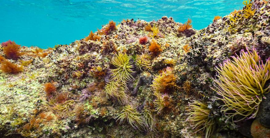
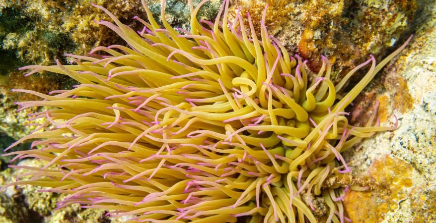
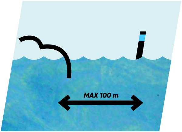
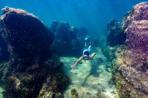
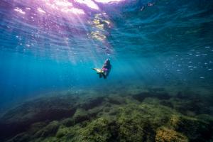
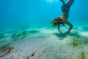
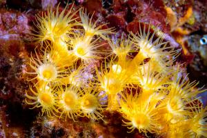
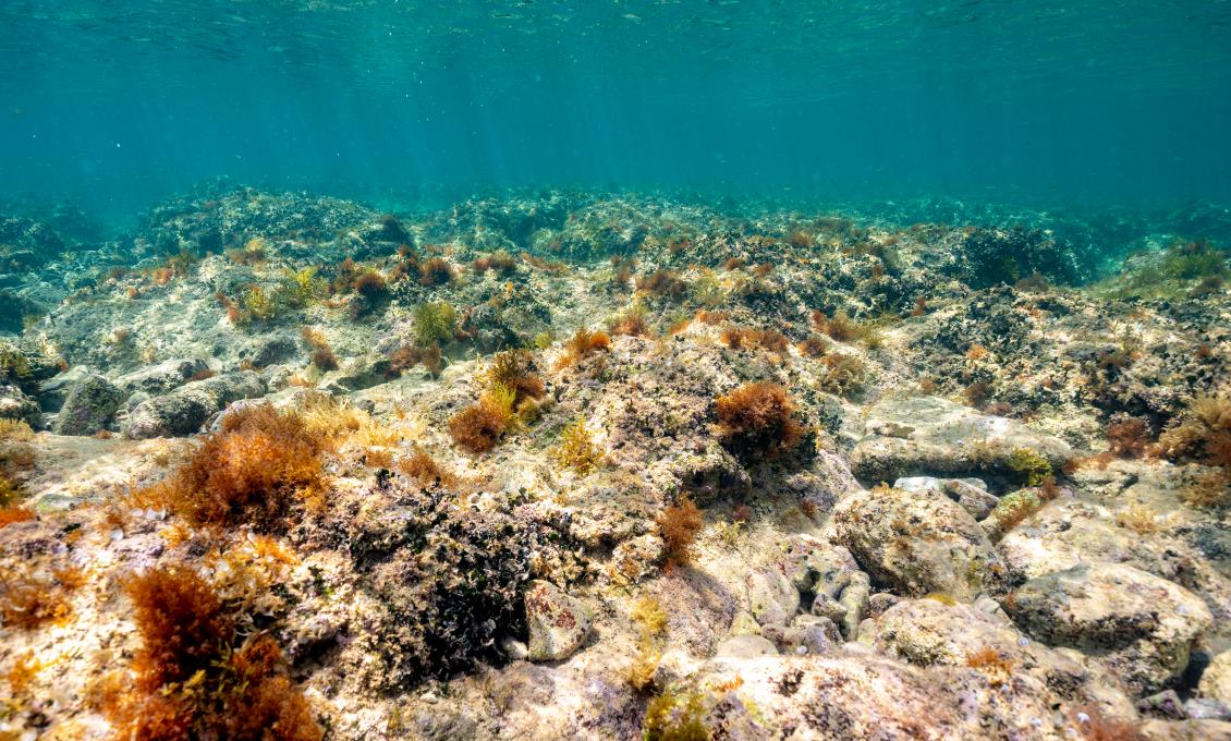
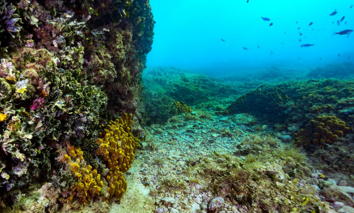
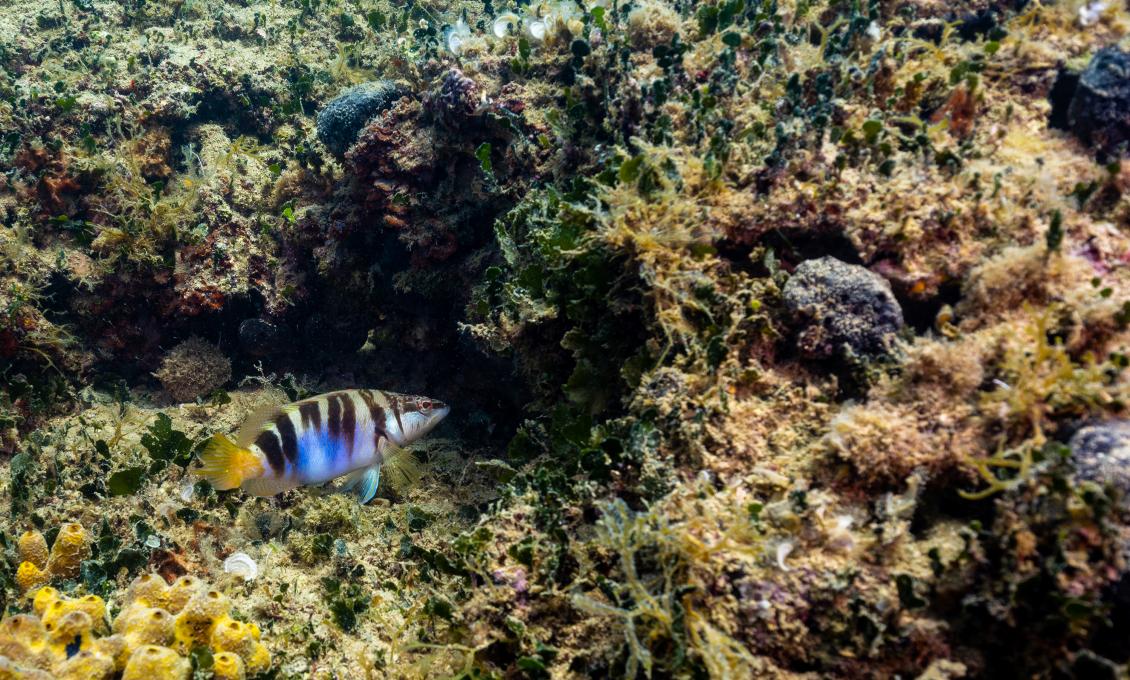
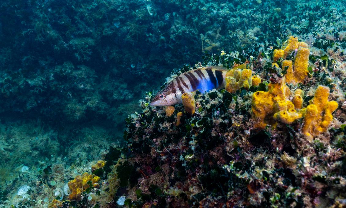
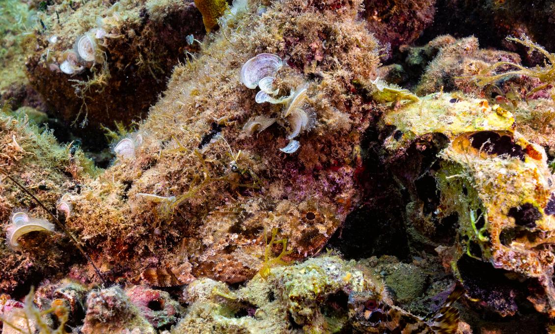
You can start exploring this snorkelling location at the foot of the town park walls. Take the stairs down to the paved promenade by the sea and step down on the small strand covered in pebbles and rocks at the beginning of the breakwater. Looking towards the open sea, you will notice a green shoal mark with an arrow-like tip. It is about a hundred meters away, and the bottom is very shallow, 1 to 2 meters deep. On the way to the shallows, you will notice a furrowed rocky bottom overgrown with various brown algae that form small groves ideal for hiding small fish, snails and crabs. These brown algae, which sway with the sea currents, are a sign of clean seas.
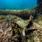
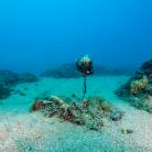
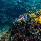
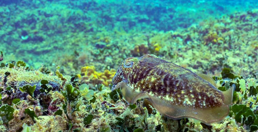
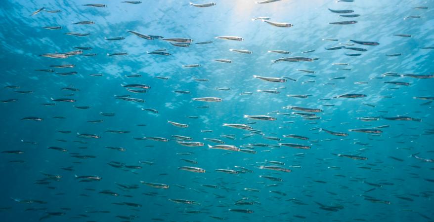
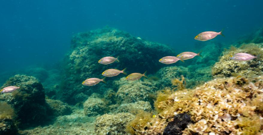
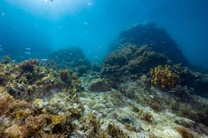
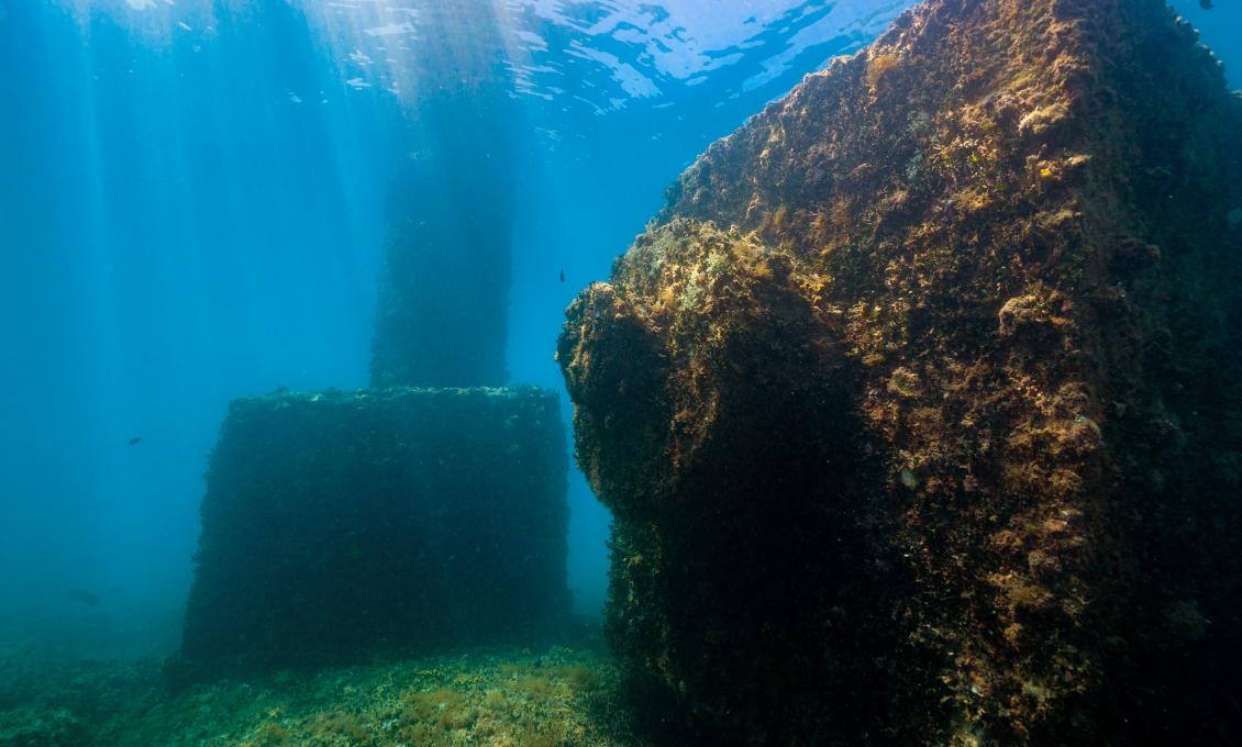
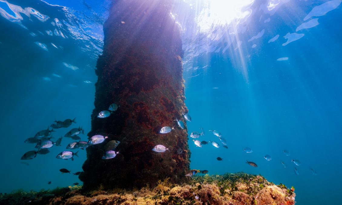
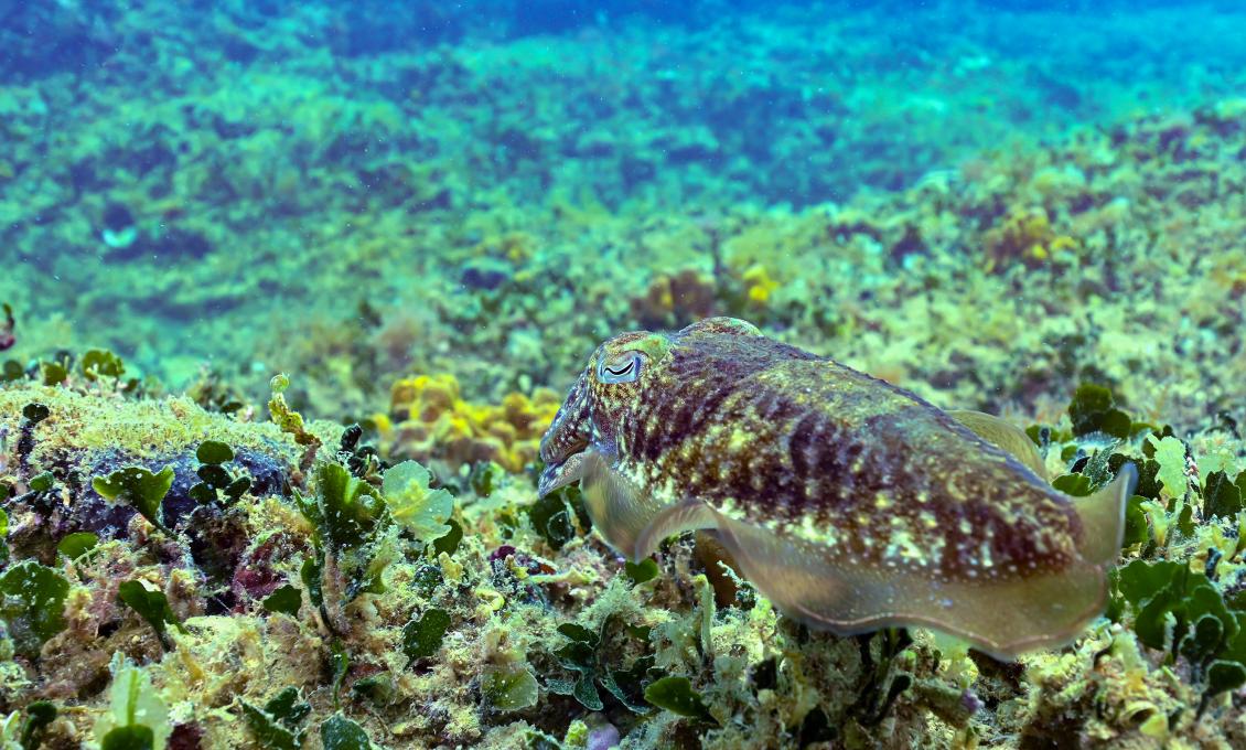
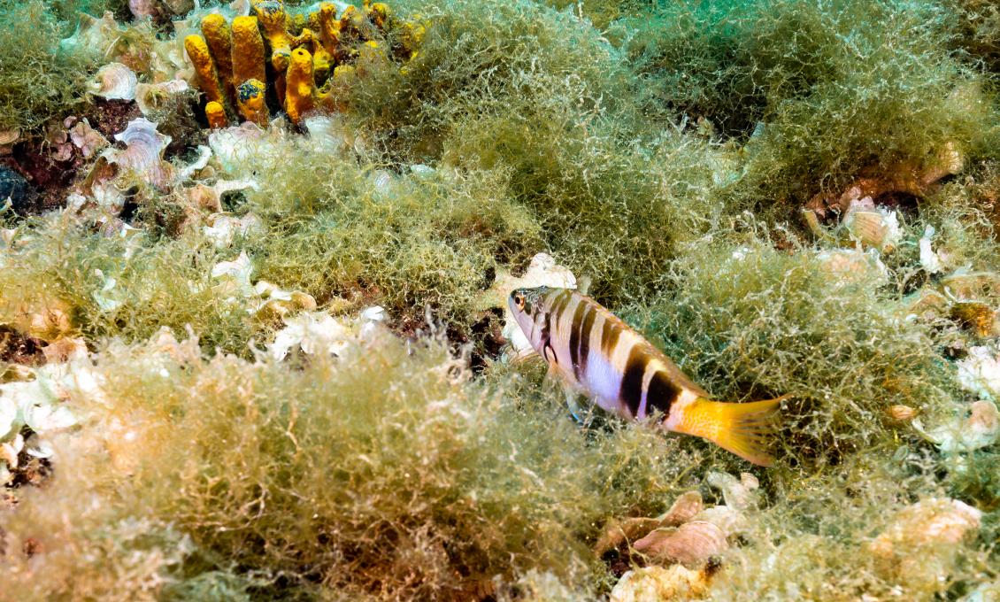
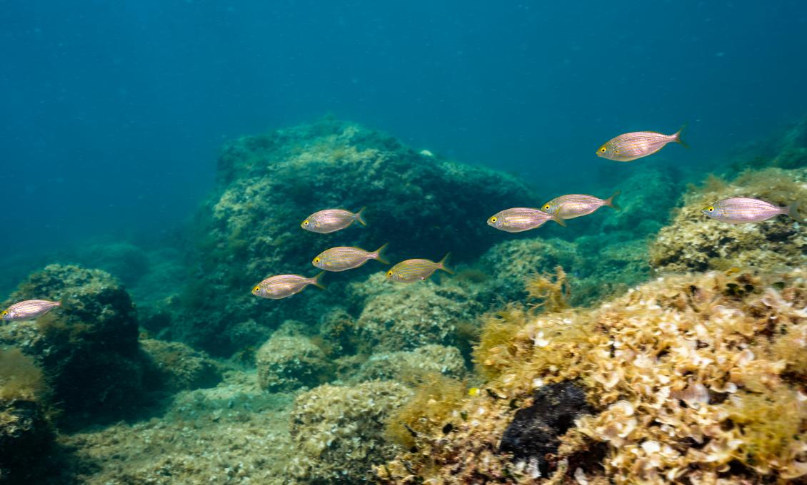
Always follow the shoal mark for direction. At one point you will reach a step where the reef deepens from 2 to 4 meters, and you will see two large concrete blocks - one from the current shoal mark and one overturned. Right next to it you will notice the old shoal mark which is now lying on the bottom. It was knocked down one night when the fishing boat was returning to the harbour on autopilot. Its top lies a little further, and it is very noticeable because it resembles a metal, lattice globe. Be sure to step on an overturned block which shallowest part is less than 1 meter deep. It provides one of the most beautiful views of the medieval walls of Novigrad, the Park of the Diocese of Novigrad and St. Pelagius at the top of the bell tower. There are always fish around these blocks. This is where the sea breams and damselfish hide, while the flocks of mullet pass by.
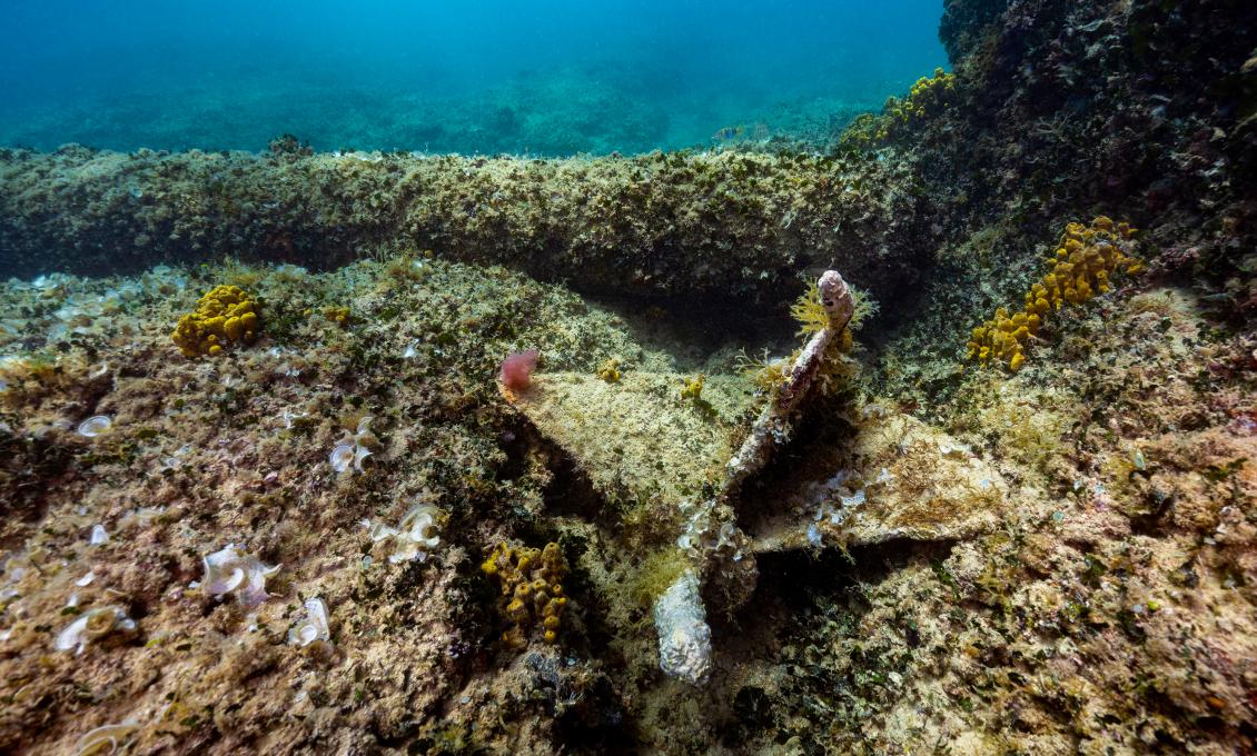
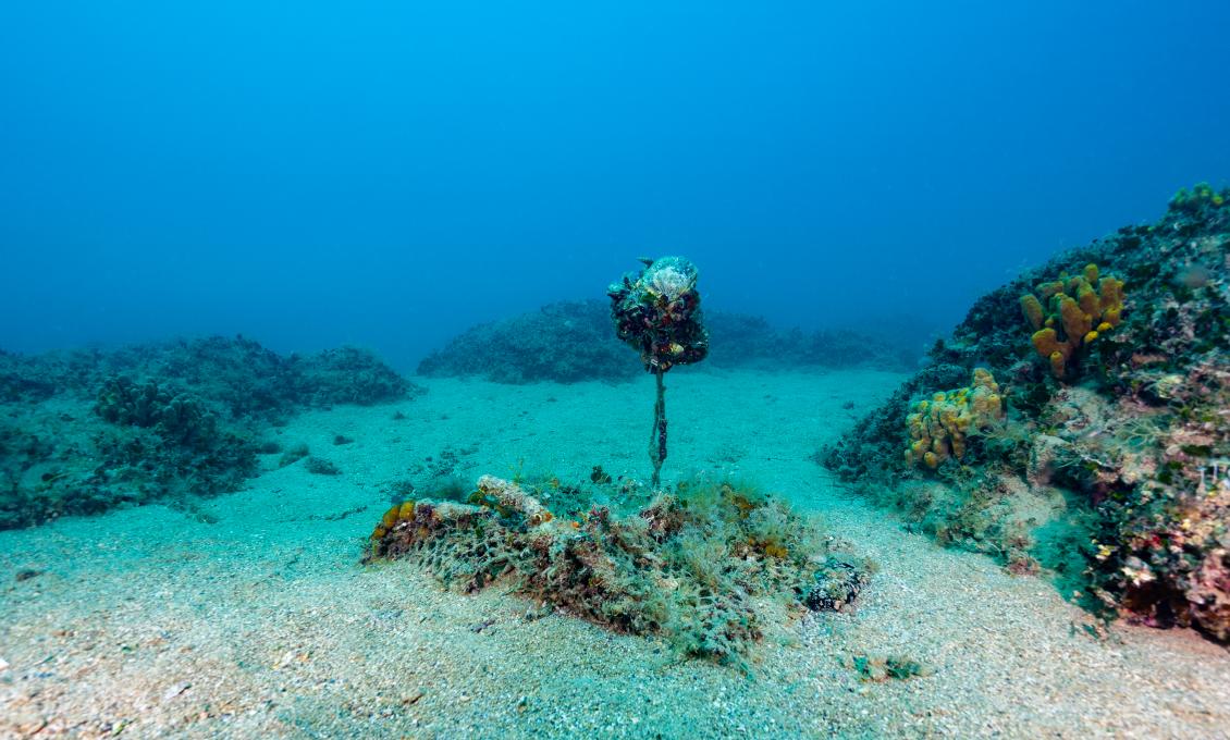
Further investigation of the location continues towards the breakwater. If you move only a few meters away from the collapsed concrete block in the direction of the breakwater, you will notice another old shoal mark, beaten by time and knocked down by the sea. At the end of this mark is its arrow-shaped tip. To its right, a few meters away, is the previously mentioned lattice globe.
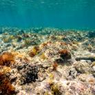
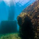
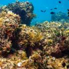
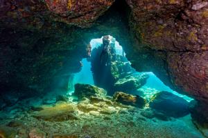
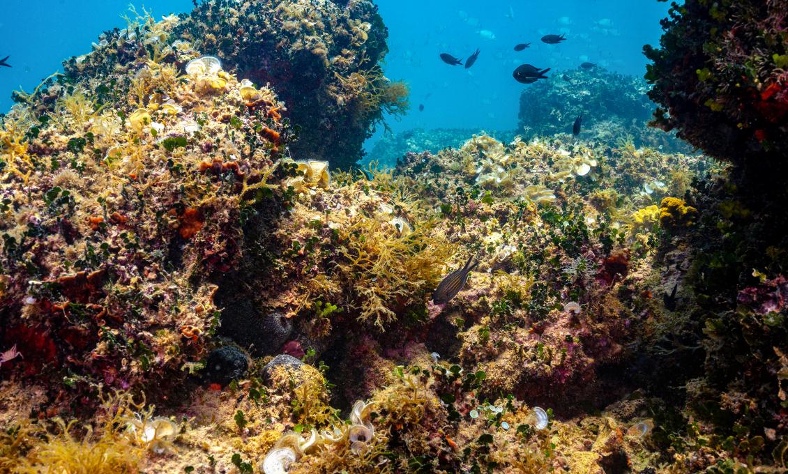
Continue swimming in the direction of the lying mark and you will cross a wall-shaped ridge. There is another ridge that hides a small window providing a view to the other side. Swimming further in the direction of the breakwater, you will come across similar smaller reefs in the shape of pins. On the right side you will notice large boulders hiding sandy bottom passages.
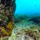
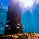
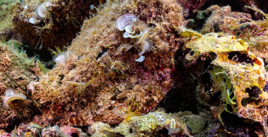
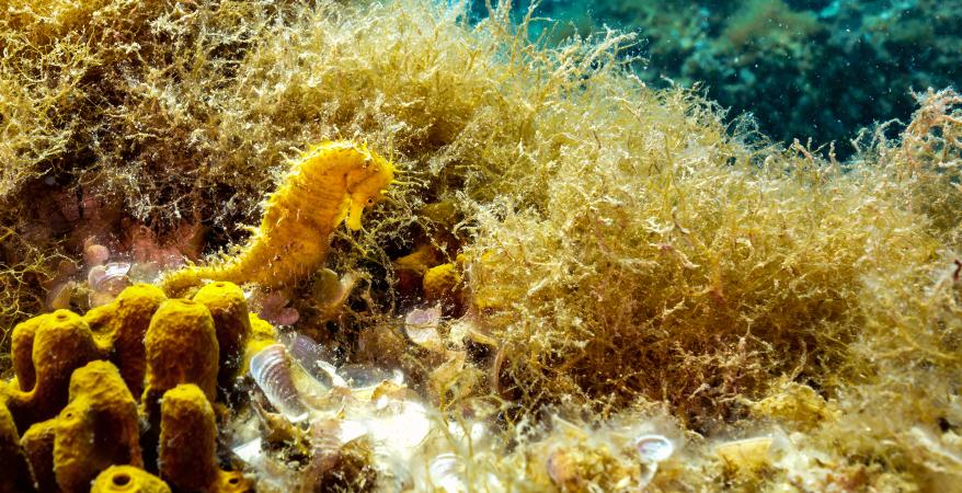
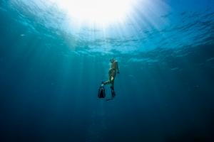
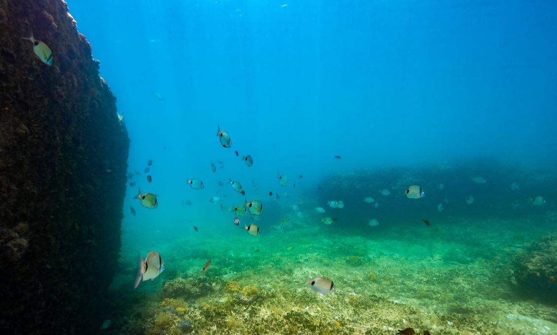
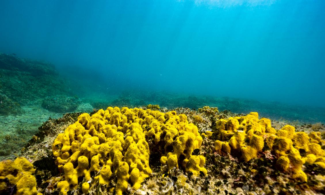
Very close to the breakwater, the bottom is sandy with a large boulder here and there. The depth ranges from 4 to 5 meters. Yellow seahorses, which can also wear white stripes, live here. They are not easily recognizable as they have the ability to mimic. They resemble the environment in colour and are often very difficult to spot. They cling to their habitat with their coiled tails. Unlike most other animals, it is the male who "gives birth" to the young. The female lays eggs, which she then passes on to the male. He keeps the fertilized eggs in his abdominal pouch. In many seahorse species, couples follow a certain pattern of behaviour, and during the male's pregnancy, they meet every morning and perform a form of a 10-minute ritual dance.
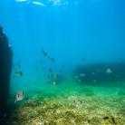
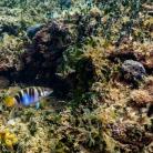
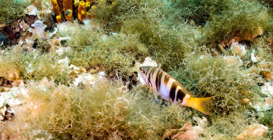
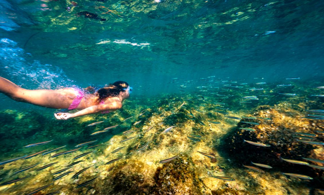
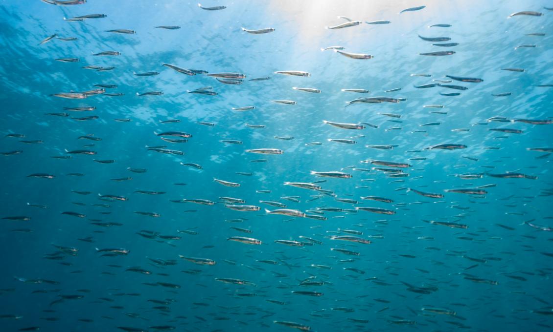
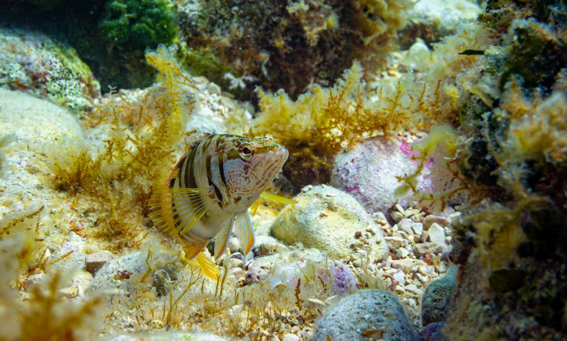
Return to the starting point by swimming along the breakwater. The depth decreases first to 2 and then soon to 1 meter. In the shallows, you will surely come across the sea bass that is very curious and will come very near. You will recognize it by its elongated silvery body with a larger head and a strong tail.
Note: Be careful The shoal mark is the end point of this snorkelling location - do not stray from it towards the open sea as it gets very busy near the breakwater.
Interesting facts Sometimes the visibility under the sea gets poor, especially when the water is low. Then the nearby river Mirna flows into the sea and muddies the sea water. However, it is precisely this muddy water that exudes memories of ancient times when Novigrad was an island (until the 18th century) and had its own water source. It was an important stop on the waterway along the western coast of Istria precisely because of the Mirna River. Novigrad's underwater reefs were known in late antiquity as very dangerous and were carefully avoided by ships sailing towards its estuary.
Keep in mind that during the time of the Venetian Republic, the Mirna Valley was known for its common oak forest, a highly valued wood in shipbuilding and construction. The archives also mention Novigrad as a log loading station, as all the wood from the Mirna Valley was shipped to Venice during the five centuries of the Serenissima's rule in these parts.


