


Rt Zub
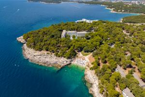
The Istrian coast between Poreč and Novigrad is separated by the beautiful Lanterna peninsula, which belongs to the Tar-Vabriga destination. Deeply immersed in the Adriatic Sea, it offers magical views of the neighbouring towns, and a namesake lighthouse hiding on its farthest point with an interesting legend attached to it!
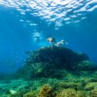
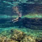
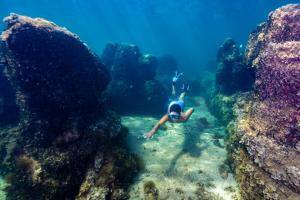
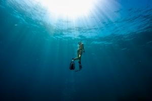
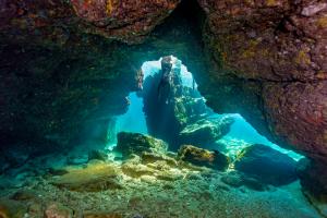
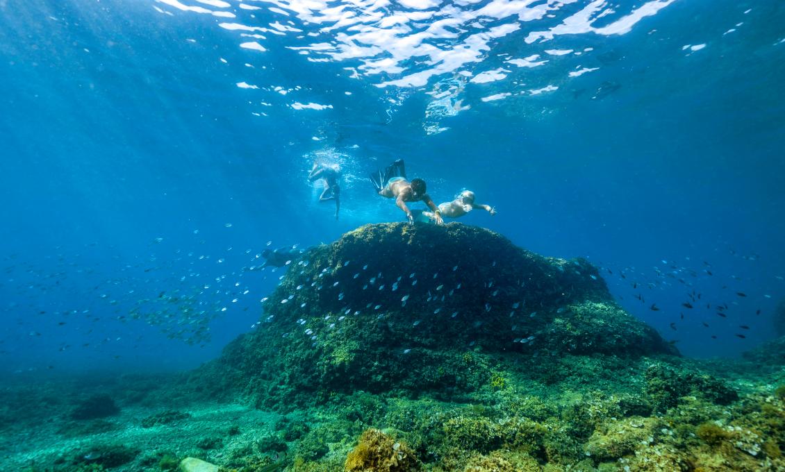
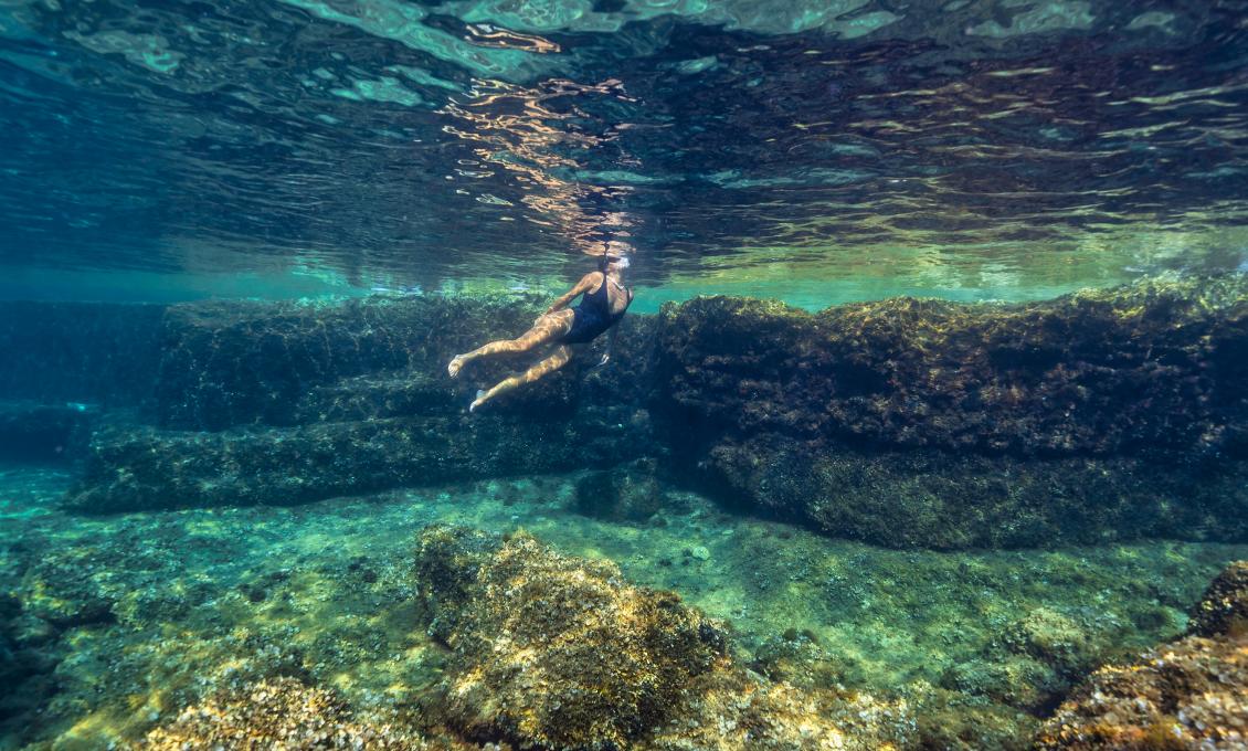
At the foot of the Cape Zub lighthouse, there is an irresistible underwater location where we will take you on a snorkeling adventure.
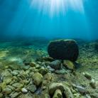
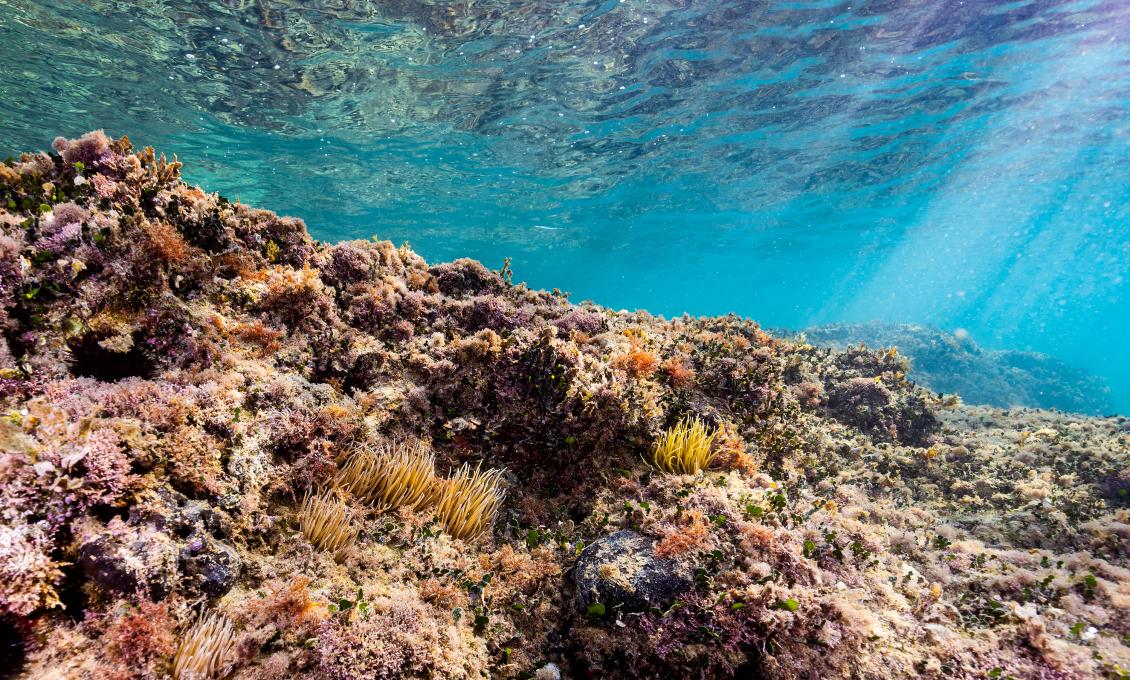
A well-maintained walking trail leads you to the Cape Zub location, winding through holm oak groves all the way to the farthest point of the Lanterna peninsula. At the location next to the lighthouse, there is a parking lot and a narrow path leading to a spacious paved sunbathing area. In harsh weather and northern wind, this location offers a view of the Italian Alps covered with eternal snow, and across the road of the walls of Novigrad and the mouth of the Mirna river.
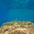
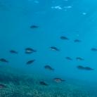
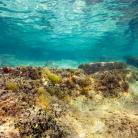
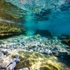
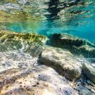
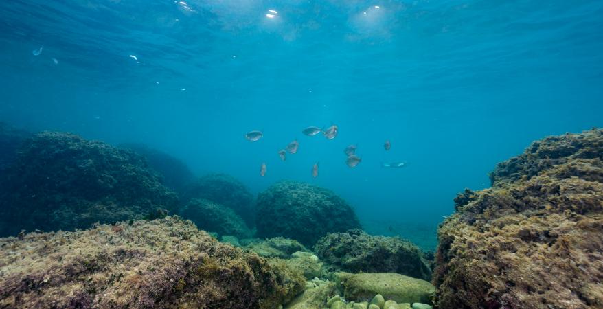
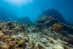
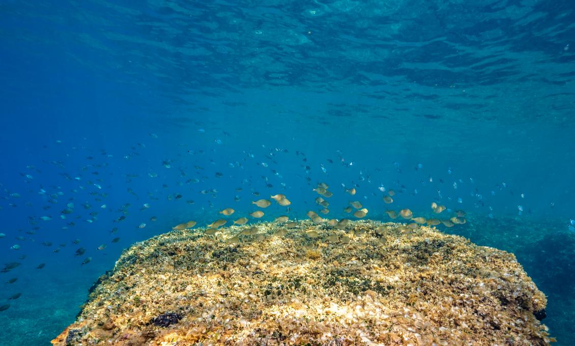
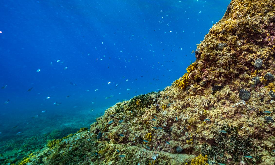
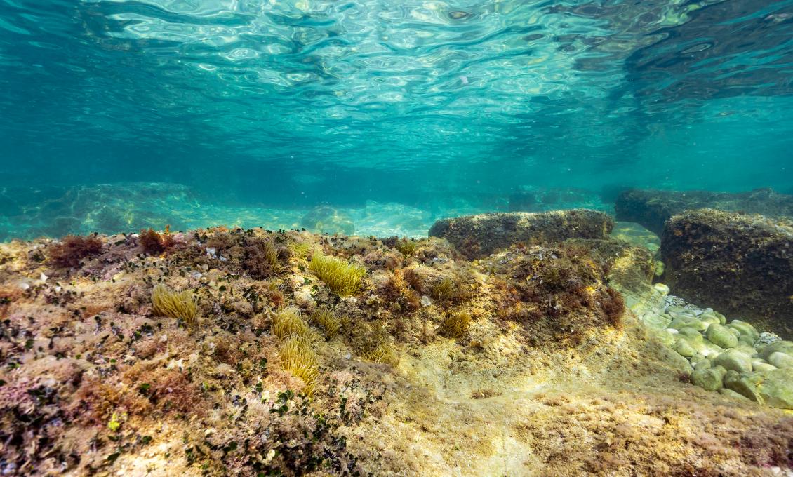
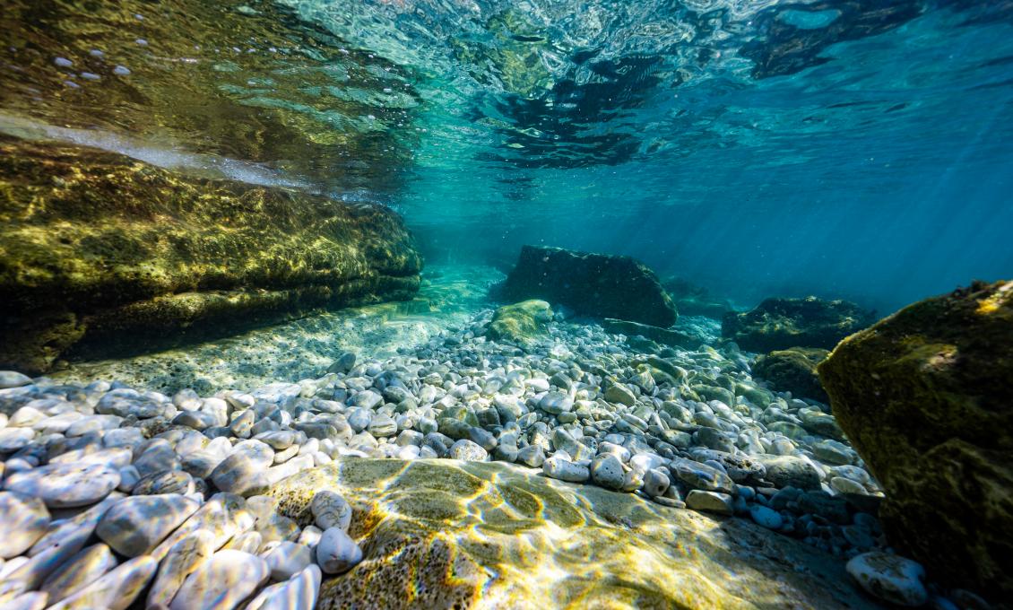
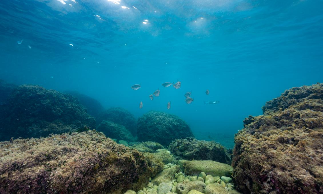
To enter the sea, use the two stairs located on the western side of the sunbathing area, or you can walk along the plateau under the lighthouse to directly reach the underwater reef that juts out like an underwater hill just off the coast. Since this is the most protruding part of the peninsula, an abundance of small fish circulates in all directions. Schools of wandering fish, such as mullets and garfish, pass by in large numbers. Here the sea is clear and clean, and the rocky bottom slowly descends into the depths.
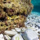
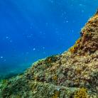
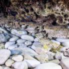
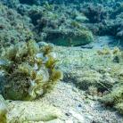
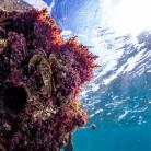
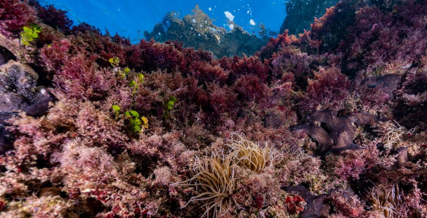
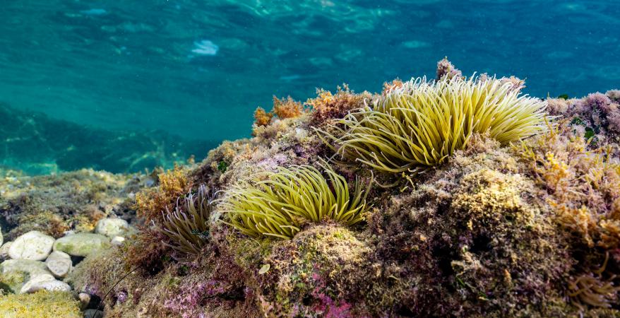
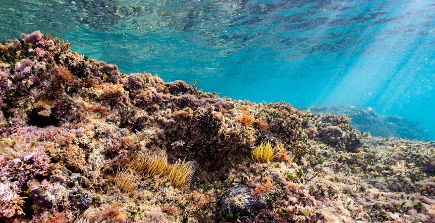
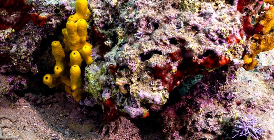
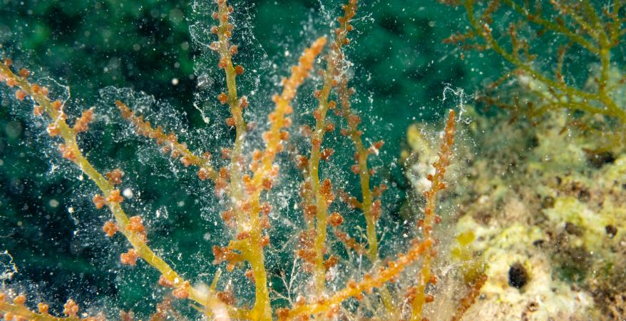
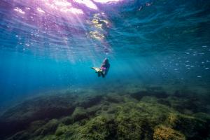
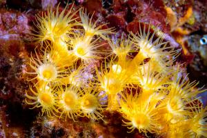
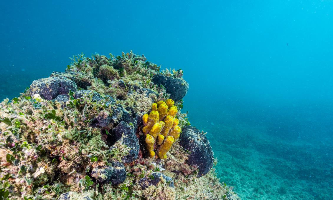
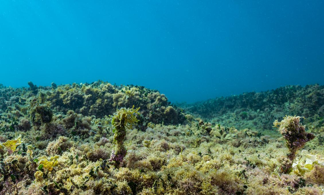
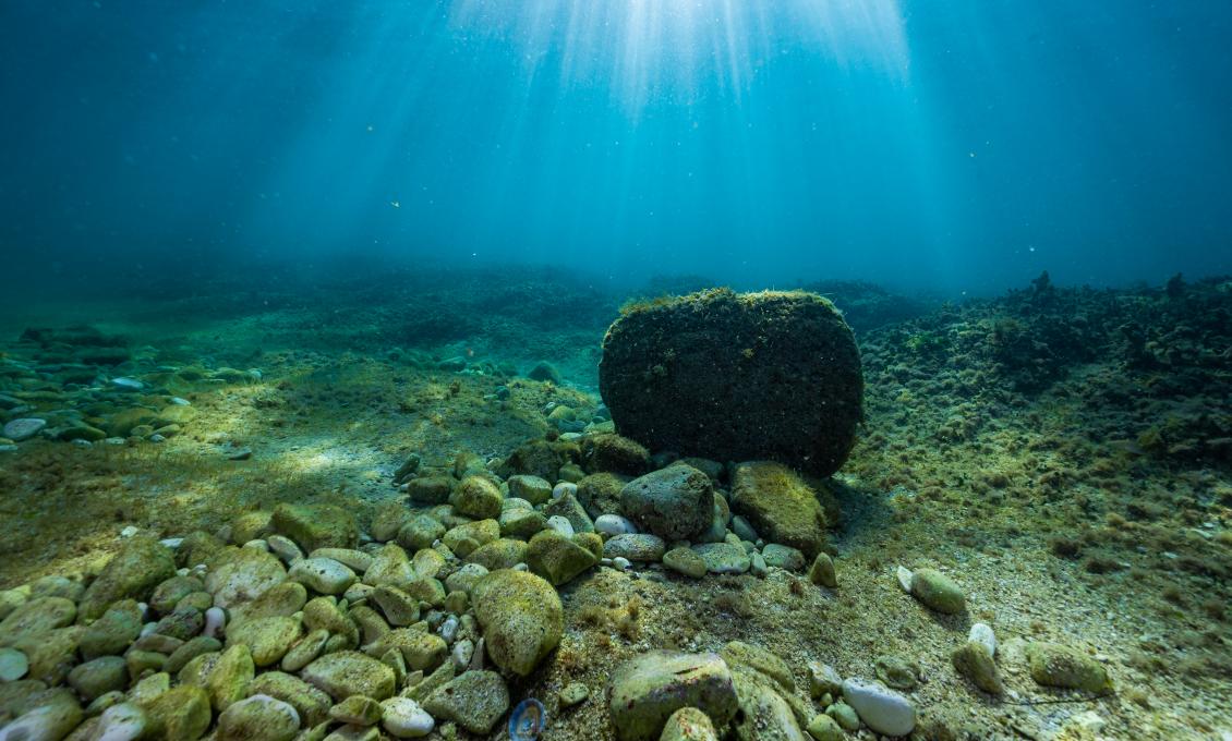
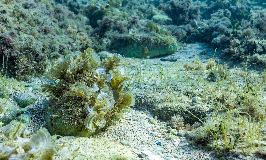
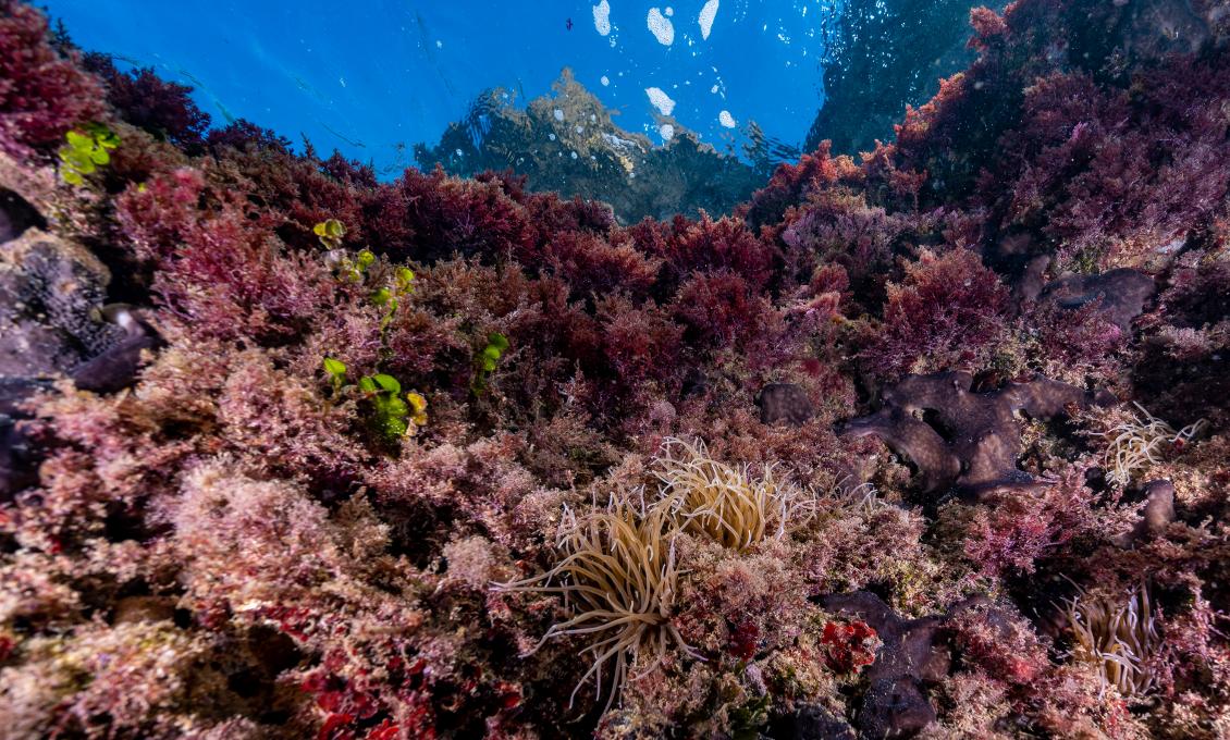
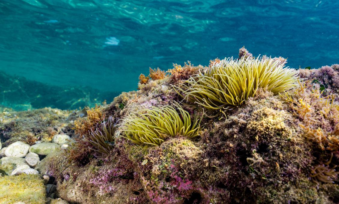
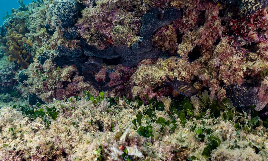
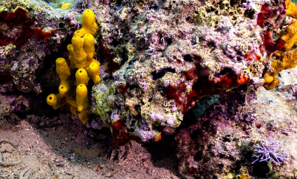
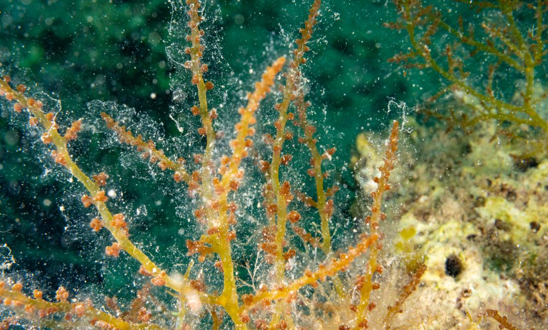
The most interesting part to explore is between the lighthouse and the stone steps. All you have to do is follow the coastline, which surrounds the beach like a sunken wall. In the shady areas, the walls are overgrown with red algae of a beautiful wine red colour, while green waterfalls of tiny algae adorn every crevice. If you go a little further from the edge of the beach, you will notice that the bottom is lined with boulders and sandbars. The bottom is overgrown with groves of algae and sponges of various sizes, among which the most conspicuous are yellow tube sponges. Sea sponges are also called "cleaners of the sea" as their feeding pattern filters the sea.
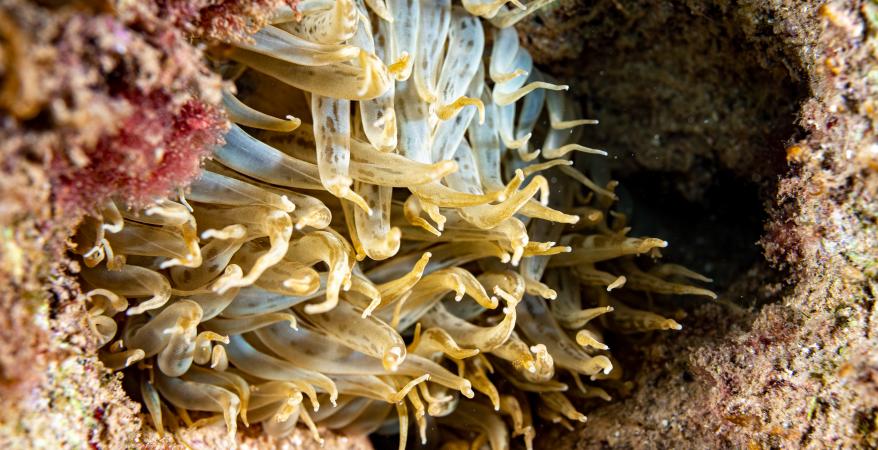
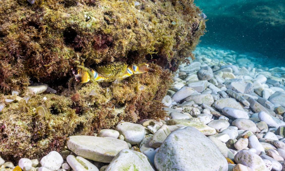
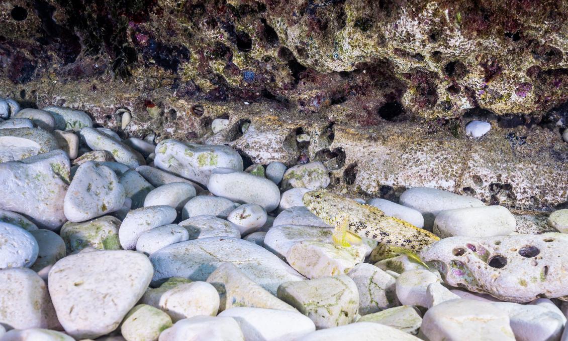
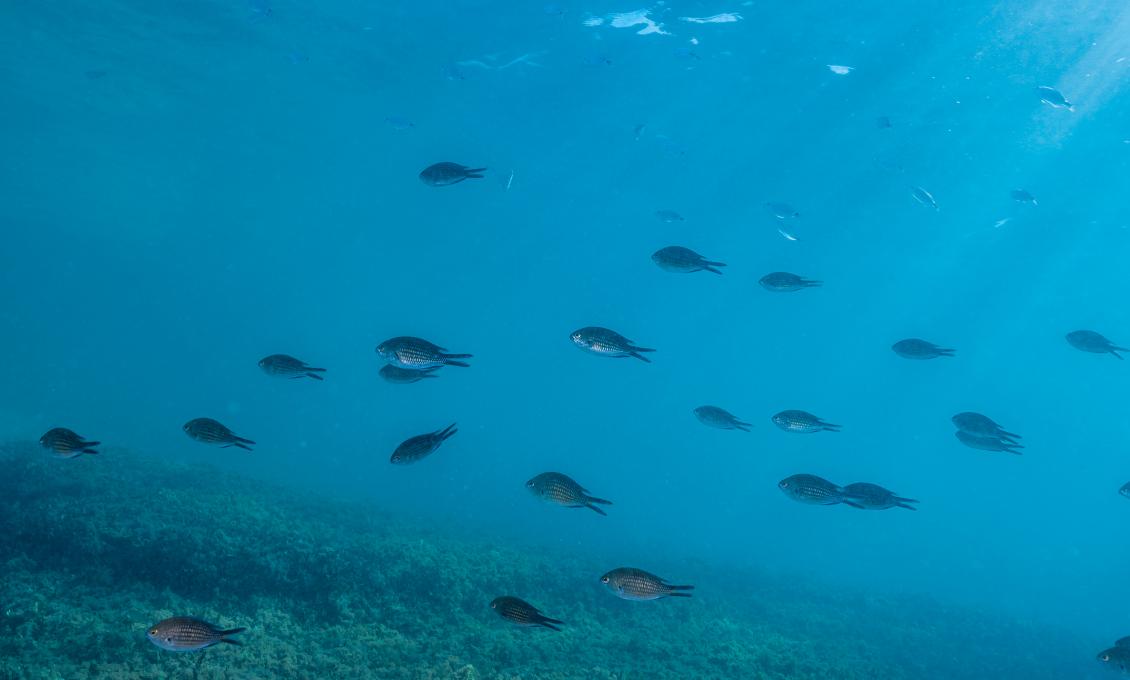
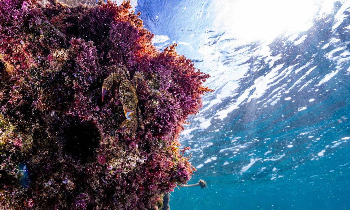
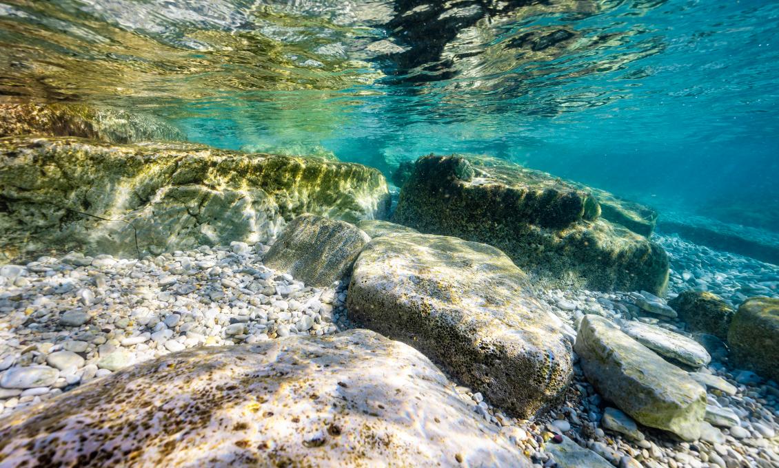
Swimming along the coast in the direction of the lighthouse, you will reach an underwater hill that impressingly juts out from the bottom almost reaching the surface. Its walls are overgrown with brown and green algae, and its small recesses hide bivalves and the warty crab, which you can easily recognize by its solid and smooth chocolate-coloured shell. The area around the hill teems with fish such as the common two-banded sea bream, the annular sea bream, and almost golden dreamfish. At the foot of the hill, small stones and the remains of shellfish, crabs and snails accumulate.
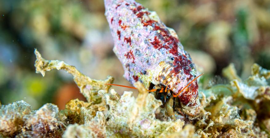
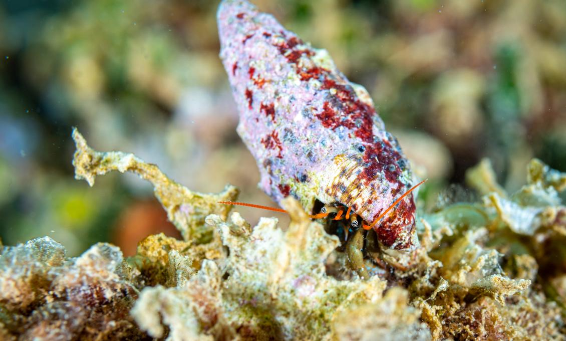
A large number of turban snails can be found throughout the snorkeling location. It was named after its round house rolled up like a turban, and often overgrown with algae. What makes it special is its beautiful cover that protects it from predators. Since it looks like an orange porcelain button, the people along the entire coast used it as jewelry or a protective amulet.
In addition to the turban snail, the banded dye-murex also lives here, a snail with a robust winding house characterized by purple-gray knobby growths. It has been known since the time of the Phoenicians, when it was used to obtain the expensive crimson dye that was traded in the Mediterranean. Because of this pigment, the ancient Greeks called it "purple" (Phoínikes in Greek). Later on the Romans took over the production of crimson colour on our shores.
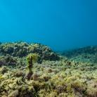
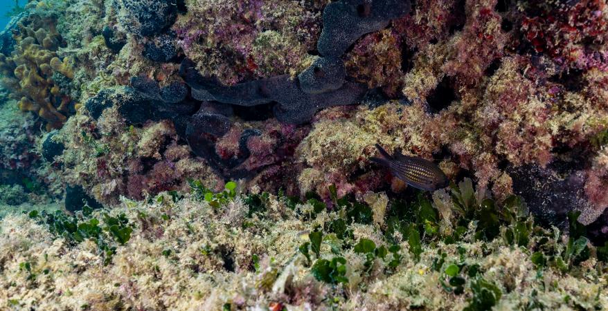
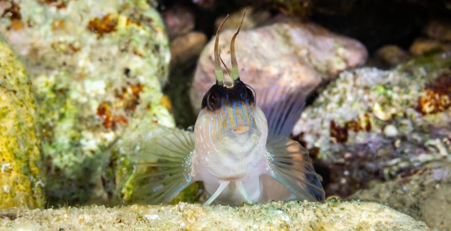
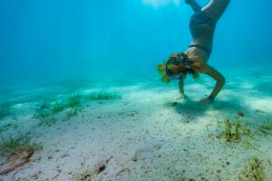
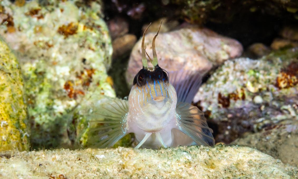
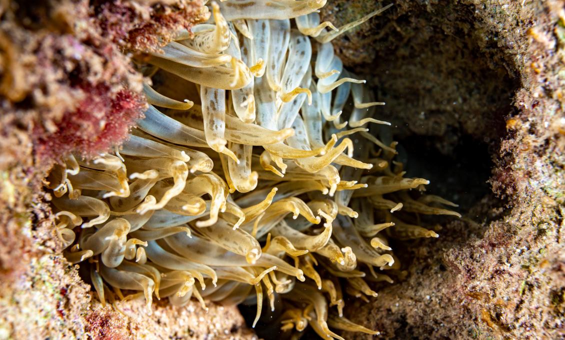
The Cape Zub site abounds in Noah's ark shell, also known by its Latin name Arca noae, fan-resembling black scallops. Their shells are scattered all over the area. The rocky bottom is full of hiding places for smaller fish such as the Mediterranean rainbow wrasse, characterized by its blue colour and an orange side band, and the brown marble-patterned five-spotted wrasse.
It is interesting that throughout history Cape Zub had great importance as a landmark at a key strategic hub - the mouth of the Mirna River. Since prehistoric times, this has been a crossing point of two main traffic routes. The first is a sea route along the western Istrian coast, and the second a sea-river route that used to run all the way to the heart of central Istria along the largest Istrian river, the Mirna.
Historical sources mention Cape Zub as part of a waterway that bypassed dangerous reefs, and directed ships to the then port of Mirna, known for the export of wood, stone, wool, oil and wheat. It was used by shallow-draft cargo ships until the Second World War. Today, we can only imagine how many Roman galleons with their colourful sails, and later frigates, used to pass in front of this cape along our oldest sea route...
Important notes
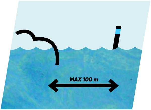
Maritime traffic at the Cape Zub location is very active, and there is also a jet ski center nearby. If you want to continue your research a little further, towards the open sea, do not stray more than 100 meters from the shore.
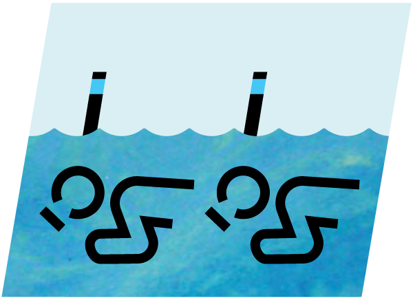
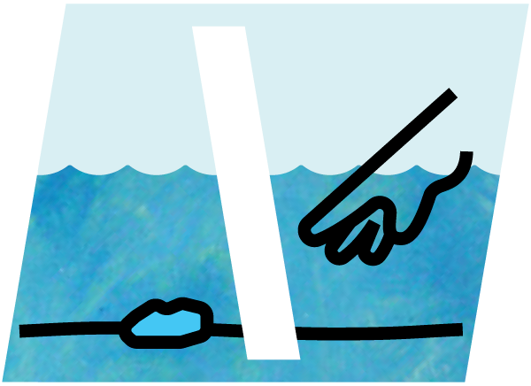
While on the shore, observe where the vessels are moving to choose a safe swimming direction. And don't forget that the safest and most fun snorkeling is in pairs!
