The Path of the Survey of Istrian Land Boundaries
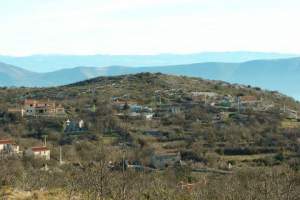
The Path of the Survey of Istrian Land Boundaries, an established thematic path, is located near the village of Karojba in hinterland Istria. The path starts at the Our Lady of Lourdes, built in 1898, and leads along the way used by medieval government officials and local population in setting boundaries. It passes and points to those boundaries which have remained until the present day.
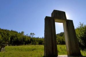
The borders and the Path of the Survey of Istrian Land Boundaries are explained in four languages on interpretation panels set up along the way. The Path of the Survey of Istrian Land Boundaries is the Croatian-Glagolitic monument compiled probably between 1275 and 1325. It describes and regulates boundaries between individual peasant municipalities and their master Oglej or the Patriarch of Aquileia and the Counts of Gorizia. This exceptionally important legal document was written in the Croatian script and the Glagolitic language. It is a testament of 21 day long regulation of disputable boundaries between government representatives and local population. Each peasant municipality or a commune had its representative, a prefect. The Survey recorded the visit to as many as 44 municipalities. It was written in three languages, German, Latin and Croatian. Boundaries were determined by easily visible signs such as puddles, springs, trees or roads. It is interesting to note that the procession included old men who knew the boundaries and children who were supposed to learn about them.
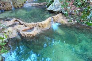
One of the springs mentioned in the Survey is the Valigaštar, once used for cattle watering, and today a dry stone well. The other mentioned spring was the Badavac, which marked the boundary between the municipalities of Motovun and Trviž. Unfortunately, the peace agreed under the Survey was soon forgotten.